Street/Place Names
![]() |
|![]() |
|![]() |
|![]() |
|![]() |
|![]() |
|![]() |
|![]() |
|![]() |
|![]() |
|![]() |
|![]() |
|![]() |
|![]() |
|![]() |
|![]() |
|![]() |
|![]() |
|![]() |
|![]() |
|![]() |
|![]() |
|![]() |
|![]() |
|![]() |
|![]()
Click on any letter, above, to visit specific section of Street/Place Names
|
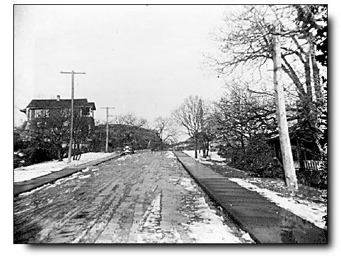
courtesy Royal BC Museum and Archives
|
F-07730
. . . .
|
 |
| R | |||||
|
|
|||||
|
Radcliffe Lane |
|||||
| Origin unknown. | |||||
| Originally called Island View Lane but changed to Bold Point Lane 1 in 1928 | |||||
|
|||||
| Information welcomed | |||||
|
Rattenbury Place |
|||||
| Named after Oak Bay resident, F.M. Rattenbury, preeminent architect (Parliament Buildings/Empress Hotel) and Oak Bay councillor and reeve (1913). | |||||
| see Rattenbury's Beach, Francis Mawson Rattenbury | |||||
|
Redwood Avenue |
|||||
| Origin unknown. | |||||
| Named by the Hudson's Bay Company | |||||
Renfrew Road |
|||||
| Origin unknown, possibly after Renfrew, England, or Renfrew, Scotland. | |||||
| Named by the Hudson's Bay Company | |||||
Repulse Street |
|||||
| Probably named after HMS Repulse, a Renown-class battlecruiser in the Royal Navy that served in both World Wars. | |||||
|
|||||
Ripon Road |
|||||
| Origin uncertain, possibly after Ripon, England, or after Captain Ripon of the C.P.R. Coast Steamship service. | |||||
| Originally called York Road but renamed in 1928 | |||||
Robert Street |
|||||
| Origin unknown. | |||||
| Former name of Allenby Street, west of Henderson Road, but renamed in 1928 | |||||
| Information welcomed | |||||
Rosario Street |
|||||
| Named after Rosario Strait, after Gran Canal de Nuestra Señora del Rosario la Marinera, the original Spanish name for the Strait of Georgia. | |||||
| Originally called Walter Street, then Haro Street until renamed Rosario Street c1928 | |||||
| Click on THE TALK ON THE STREET to enjoy the recollections of Stewart Rae | |||||
|
|
|||||
|
|||||
Roslyn Road |
|||||
| Origin unknown. | |||||
|
|||||
| Originally named Pleasant Avenue | |||||
| Information welcomed | |||||
Runnymede Avenue |
|||||
|
|||||
| Named after Runnymede, England. | |||||
| Runnymede, England is where King John was forced to sign the Magna Carta in 1215 | |||||
| Click on NAMESAKE to learn namesake of RUNNYMEDE | |||||
 |
|||||
Runnymede Place |
|||||
| Named after Runnymede, England. | |||||
Rutland Road |
|||||
| Origin uncertain, possibly after Rutland, England. | |||||
| Information welcomed | |||||
PLACE NAMES
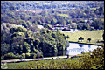
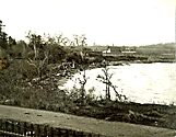
| This beach was the foreshore of Francis Mawson Rattenbury's extensive waterfront estate. |
![]()
The History of Oak Bay Website
A CENTENNIAL LEGACY PROJECT